
Cycling Mont Ventoux via Malaucène – the most scenic way to reach the top
Cycling Mont Ventoux via Malaucène may not be the most popular side of the three approaches, but many would say it is the most scenic. From this side, the climb is equally as hard as the more famous approach via Bédoin. It also offers up some more shelter from the wind as it is not quite as exposed to the strong wind gusts which the mountain is renowned for.
Early slopes
From this approach, there is no real easy warm-up. The gradient is steep at the outset and so if you want a warm-up perhaps factor this in before setting out. You can see the summit looming in the distance as you work your way up through the lower slopes, orchards all around you providing for spectacular views.
Steep gradients begin to bite
Once you reach the halfway mark of the climb the gradients really starts to get sharper and hovers around 10% for quite some time. From Belevedere this is not much respite at all from the double-digit slopes. Each of the kilometre markers, unfortunately, reveal no respite as the sting of the climb begins to bite. Unlike the Bédoin approach, you will at least be able to let yourself get distracted by the stunning views afforded to you all the way. A brief respite awaits you with an easing in the gradient for two kilometres before the steepest section of the climb kicks in again and a kilometre at 11%.
Out of the trees
With two kilometres to go you leave the trees behind and reach the barren, rocky landscape which Mont Ventoux is more renowned for. If the wind is up you will know about it here as this section of the climb is far more exposed. The summit has recorded wind speeds of 320kph and 2 out 3 days of the year the wind speed is measured at over 90kph so this is definitely something to keep in mind. Finally, you reach the top and the red and white striped aerial tower is next to you. Take in those views, a summit photo or two and enjoy the descent back to Malaucène.
Suggested cycling route
Distance: 42.1km / 26.15mi
Start elevation: 377m / 1,237ft
Max elevation: 1,909m / 6,263ft
Metres climbed: 1,567m / 5,141ft
Metres descended: 1,567m / 5,141ft
Categorised climbs: 1

During the peak cycling season, the top of Mont Ventoux is abuzz with cyclists.
Food and water
Options for refuelling on the ride are available along the route at Chalet Liotard as well as at the summit itself. The approach to Ventoux is more exposed to the sun so be sure to set off with plenty of water.
Highlights
- Cycling Mont Ventoux via Malaucene is the most scenic approach. Be sure to breathe in those vistas as you work your way up the steep gradients.
- Riding up alongside the barren landscape near the summit will make you think your on the moon. It is a landscape so unique to this mountain.
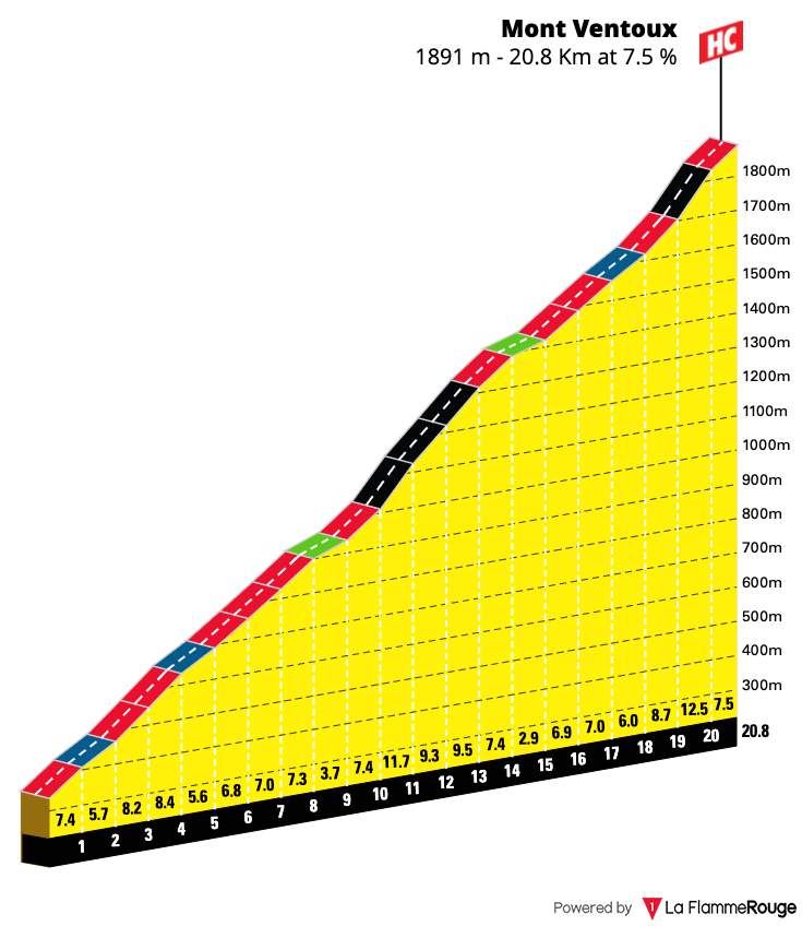
Mont Ventoux (Malaucène)
Length: 20.9km / 13 mi
Average gradient: 7.6%
Start point: Malaucéne
Elevation at top: 1,909m / 6,263ft
Cycling Mont Ventoux via Malaucène is just one of many great rides you can discover whilst you stay in the Luberon and Provence regions of France. We have mapped out several other rides which you may also wish to consider and you can read more about them here.
If you are interested in a holiday in this area of France then check out our destination guide. We have listed out lots of helpful information such as travelling to and from the region, accommodation available as well as other attractions and activities to explore.